
Tuesday, April 15, 2008
Aboriginal Communities in Google Earth
Aboriginal Communities in Google Earth is a virtual globe program that is made freely available from the Google Corporation. The program maps the earth by superimposing images obtained from satellite imagery, aerial photography and GIS over a 3D globe. In an effort to better acquaint people with the Aboriginal communities of Canada, Google Earth has created a placemark file that, when used in conjunction with the Google Earth, allows users to virtually visit these communities.
Monday, April 14, 2008
Through the Eyes of Hunter-Gatherers: Participatory 3D Modelling among Ogiek Indigenous Peoples in Kenya
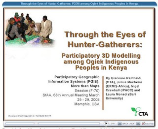
This PowerPoint, presented by Giacomo Rambaldi of CTA at the SfAA 2008 in Memphis, USA on 28 March 2008 describes a participatory process by which Ogiek indigenous people in the Mau Forest Complex in Kenya rendered their spatial memories through the making of a georeferenced three dimensional model covering part of their ancestral territory. Once completed, the model selectively displayed both the tangible and the intangible heritage of the Ogiek people. The composition of the legend and the making of the model stimulated collegial learning and community cohesion. The process has been perceived as a milestone for Ogiek clans in terms of working together towards a common goal, and in realizing the value and potential authority of their spatial knowledge once it was collated, georeferenced, documented and visualized.
Subscribe to:
Posts (Atom)