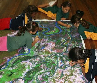
 MELCA Mahiber, an Ethiopian NGO which is part of the African Biodiversity Network (ABN) facilitated the construction of a Participatory 3 Dimensional Model (P3DM) of the historical Wechecha mountain complex, which is found in Oromiya Regional State, adjacent to Wolmera and Sebeta Awas Woreda in Ethiopia.
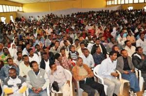
Once completed the model has been inaugurated by a Representative of the President of Federal Democratic Republic of Ethiopia. Over 500 people participated in the ceremony including members of the House of People Representative Councils, governmental officials and representatives from international organizations, CSO and local communities.
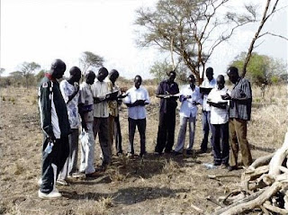
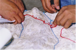
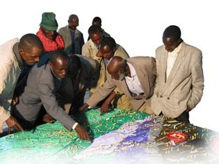
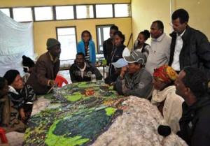
 The 1:10.000 scale model covers an area of 24 km by 28 km. Over 40 students and representatives from youth groups constructed the blank model. Residents of the area, especially elders, were invited to populate the map with their spatial knowledge. In the process information about the mountain area has been shared across generations and between local communities and other stakeholders, opening the door for deeper discussions on the sustainable management and safeguarding of both local culture and environment. The local Governors were very supportive. They played an active role in the process together with the organisers.
The objective of the exercise was to document the Traditional Ecological Knowledge (TEK) of resident communities, and add value and authority to it in order to increase the value external authorities would attach to it when it comes to collaborative natural resource management. A second objective of the exercise was to enhance the transfer of TEK the younger generations.
Now thet the model is completed it will as a reference environment where local people, government officials and other stakeholders can discuss management and rehabilitation plans.
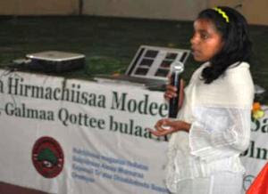 Kalkidan is a 15-year old student at Holeta Primary School. She witnessed how this model created an opportunity for her and her friends to learn a lot from the local elders. At the inauguration she stated the following: “We youngsters didn’t think that elders know, but now, after participating in the construction of this Participatory 3 Dimensional Model, we are convinced that our elders have a deep knowledge about their environment” She recalled that the elders were the main actors on the scene.
 At the ceremony Elders locaed their places of origin on the model and talked about them. They couldn’t hide their feeling that their area is becoming degraded and pleaded for concerned bodies to address this problem. The government representatives also endorsed the model and reiterated that it should not be just for looking at and admiring.”
Dr. Tewoldebithan G/Egziabher, Director of the Federal Environmental Protection Authority and Chairman of MELCA’s General Assembly delivered the model to Holeta Town and Wolmera Woreda Administrations on behalf of MELCA. He told to the Administrations to use the model as a reference for taking measures.
According to Million Belay the Director of MELCA related initiatives will follow: There will be an intensive planning process aiming at rehabilitating the Wechecha Mountain complex and we will ensure that the model will be central to it. Schools located at the foothills of the mountain will make use of the model in their curriculum like it is currently happening in Nessuit Kenya, where a similar model has been constructed in 2006. Teachers use it to facilitate pupils learning about their environment, geography and cultural landscapes. In addition, Mr. Belay stated that the 3D model will be used for scientific research, on the relationship between people and the environment, and to study the impacts of land degradation on the livelihood of local communities.

